

This project involved the creation and ongoing development of the Paultons Park navigation maps, used across both printed guest materials and the official Paultons Park app.
navigational maps
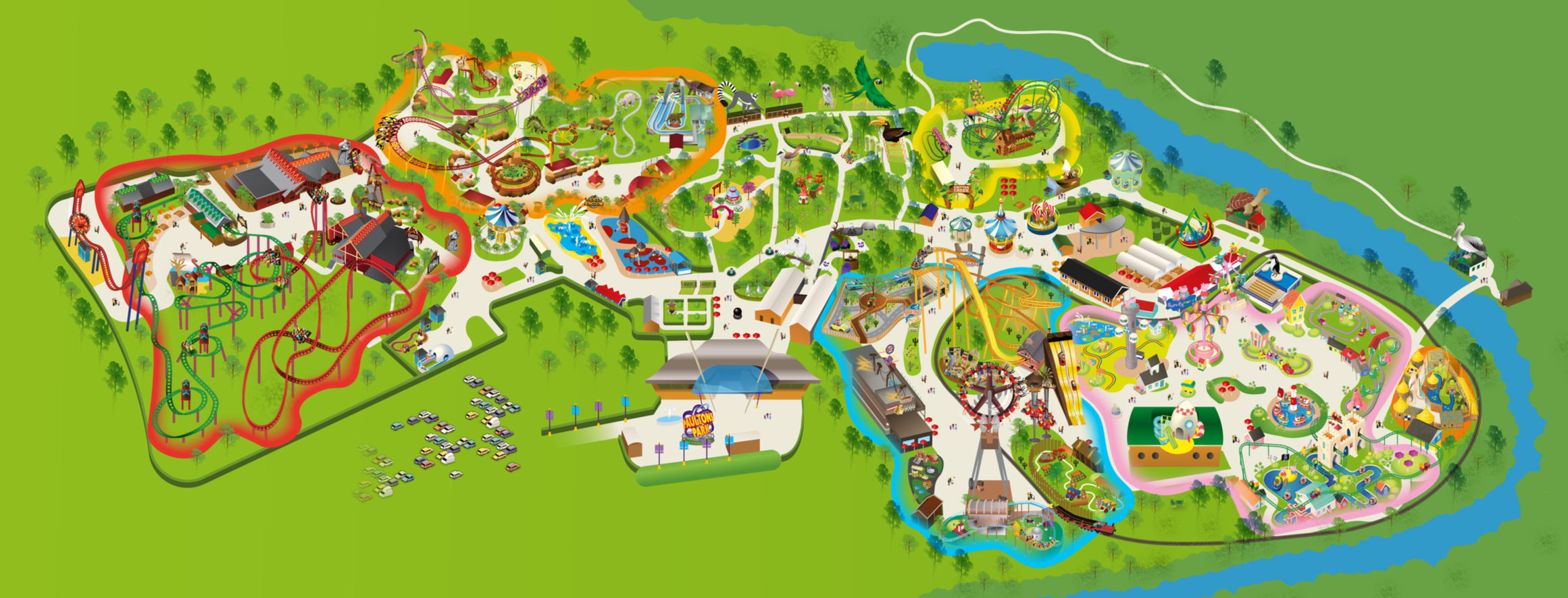
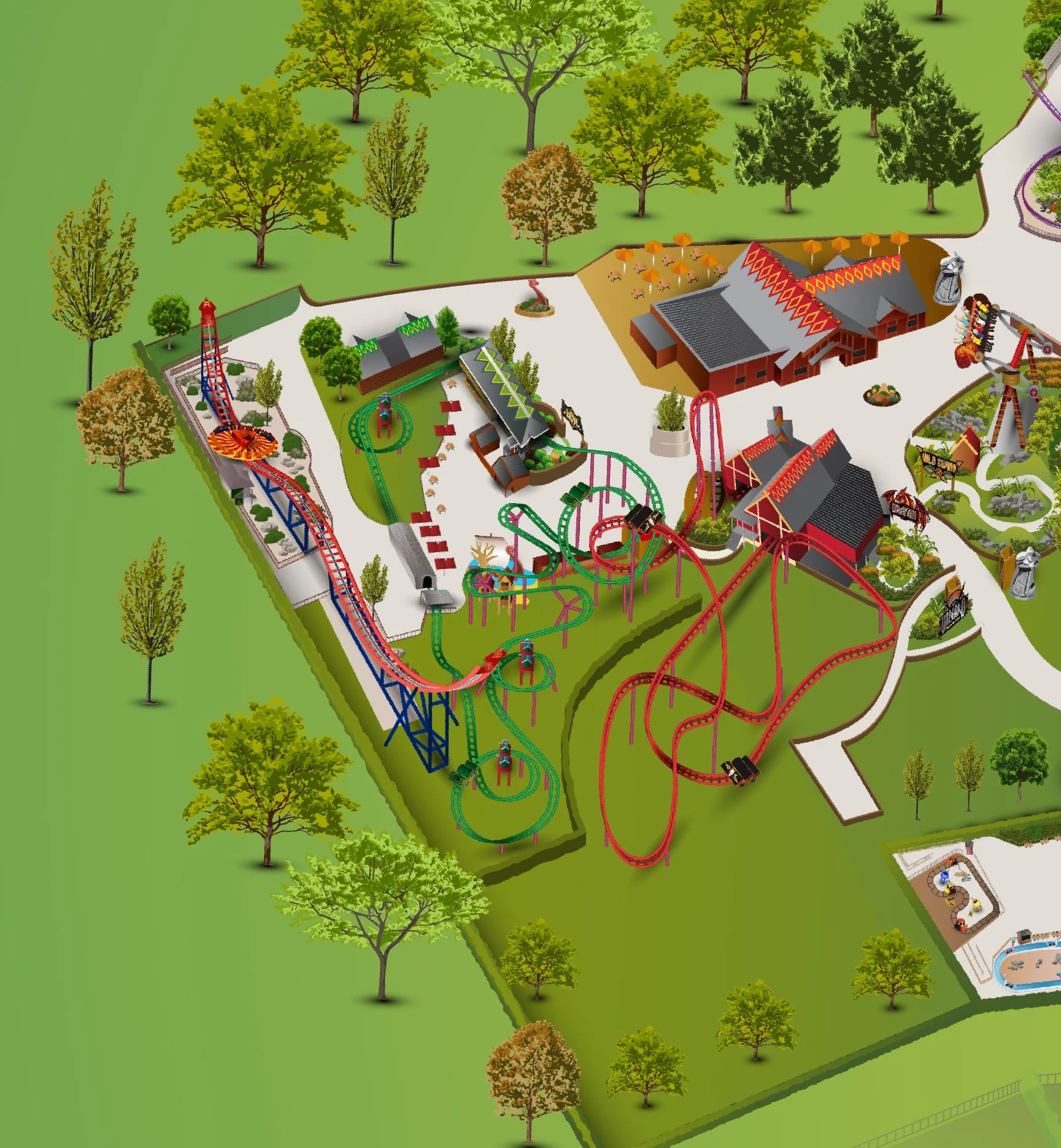
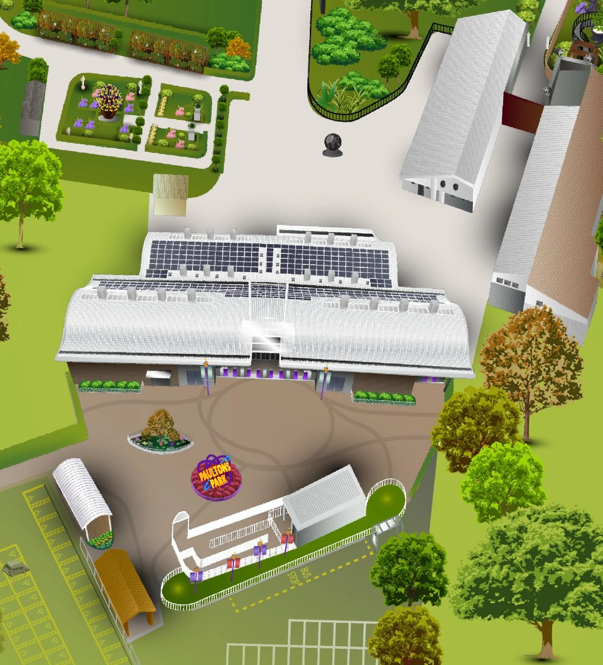
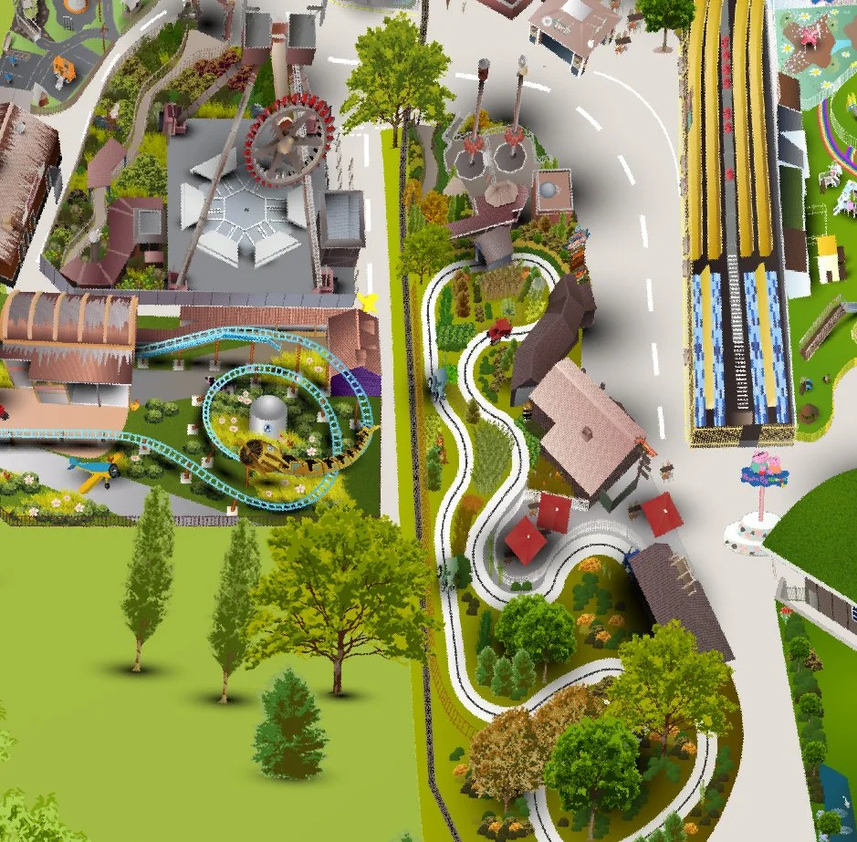
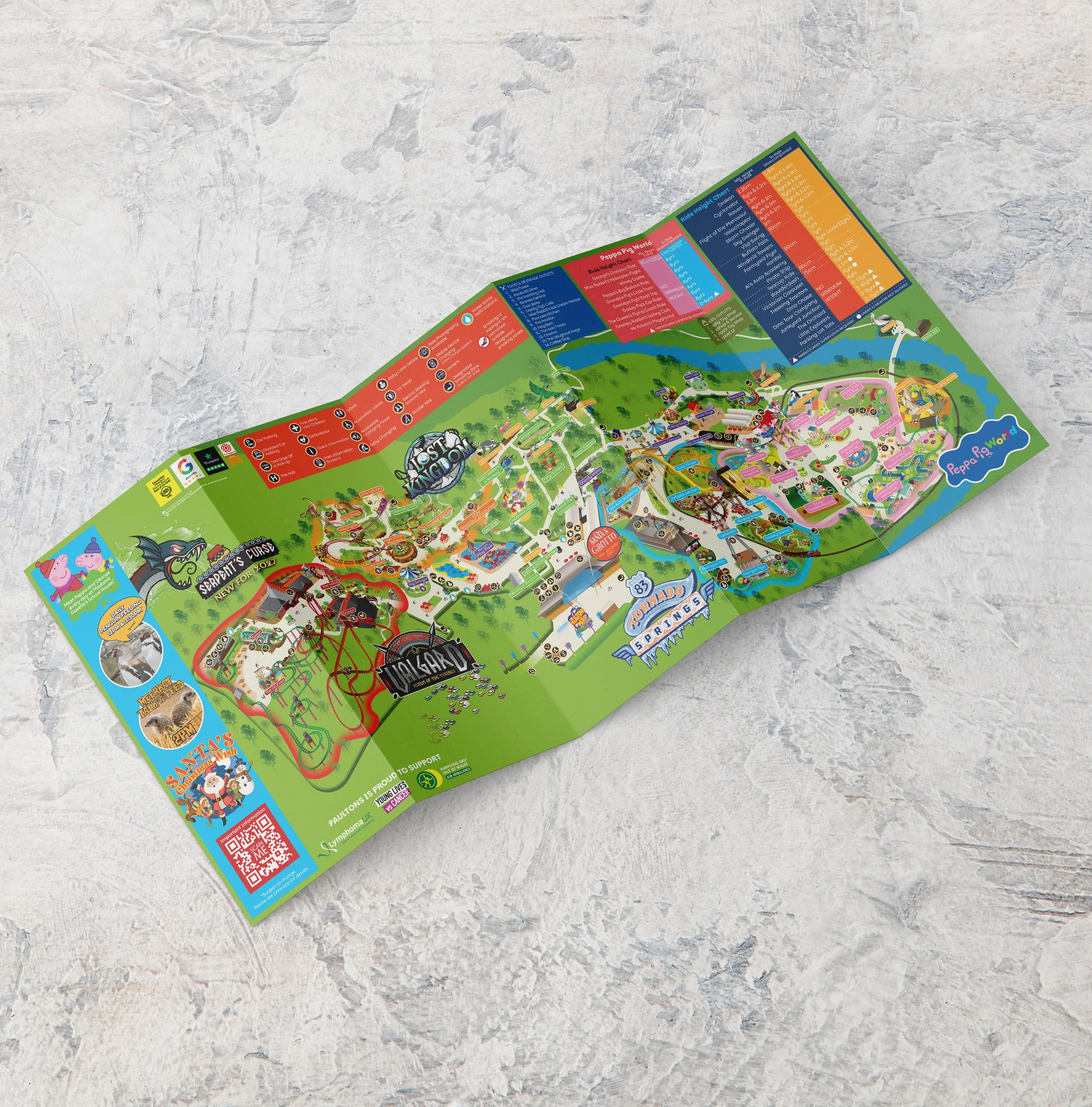
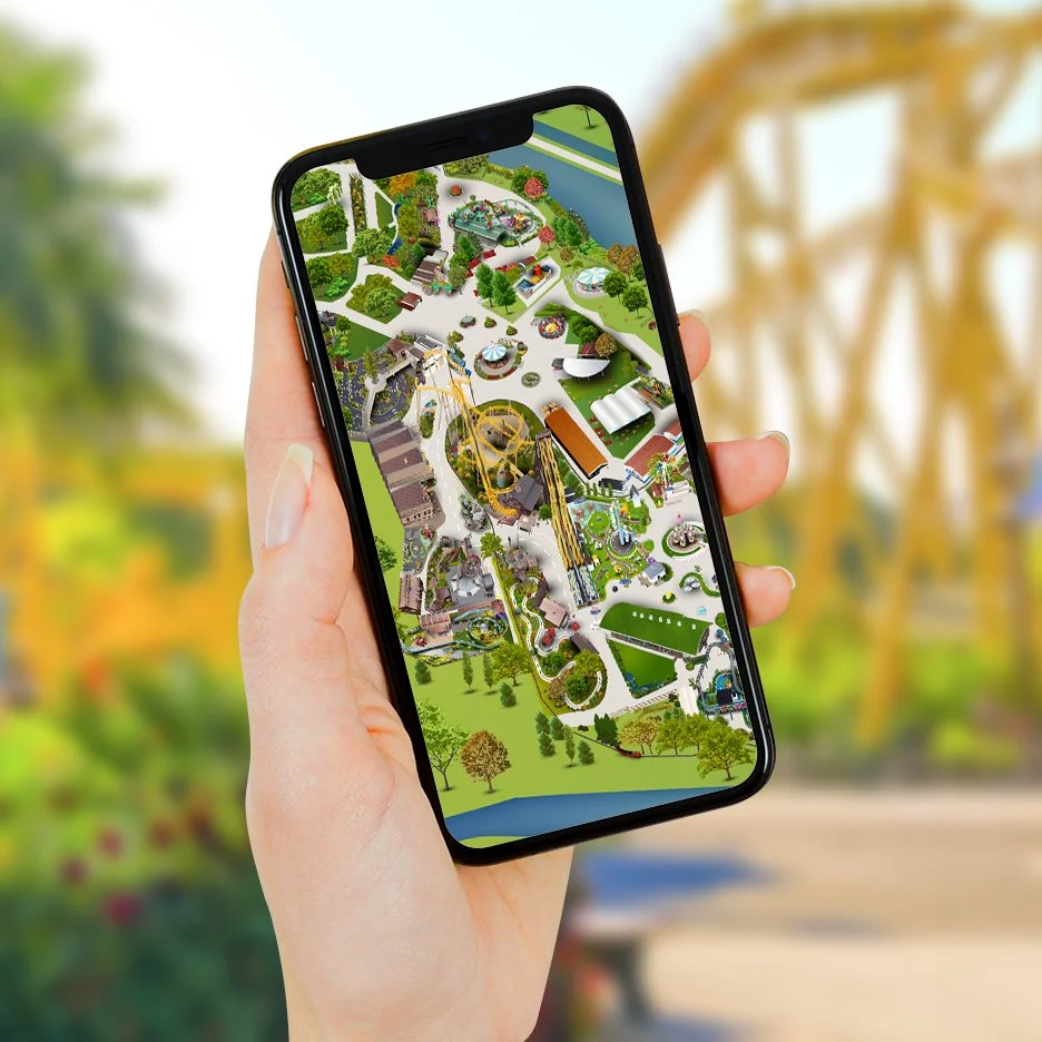
The map is a constantly evolving design project, requiring regular updates as new attractions, themed areas, facilities and pathways are introduced or existing areas are changed. Most recently, this included incorporating Valgard: Realm of the Vikings into the wider park map and ensuring the new land was accurately integrated with the surrounding areas.
The map needs to provide guests with enough information to confidently navigate the park, while remaining easy to understand at a glance. This includes clearly communicating the locations of attractions, food and beverage outlets, toilets, facilities, guest services, pathways and other key points of interest.
Paultons Park uses two distinct navigational maps: one designed for accuracy and functionality within the app, ensuring a seamless wayfinding experience, and a second, more stylised map created for promotional purposes. The illustrated map focuses on showcasing the park’s attractions in a fun and engaging way, capturing the playful character and excitement of the Paultons Park experience.